The Defensive Walls of Florence, Italy

I’ve always been intrigued by the possible visual growth rings apparent in various cities. In certain historic cities these can be traced by locating where the defensive walls of the cities were located as the city grew.  One city that fits this category is Florence, Italy.

The map of Florence drawn by Frederico Fantozzi, 1841
The figure ground drawing of the Florence Fantozzi plan, 1841
The 1841 Florence plan with the various walls shown over time.

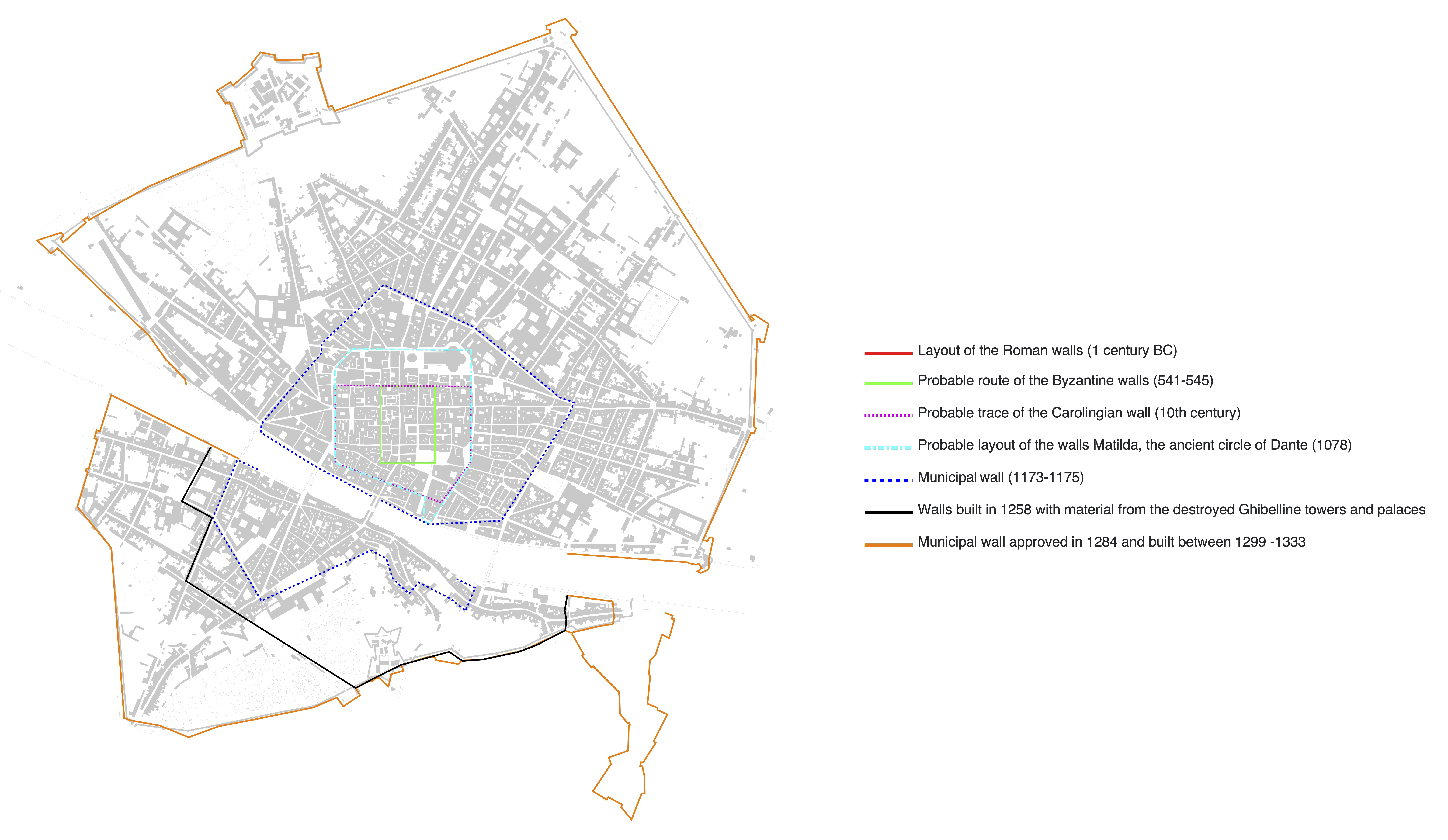
The above drawing illustrates that the size of Florence basically did not grow for approximately 500 years.
 
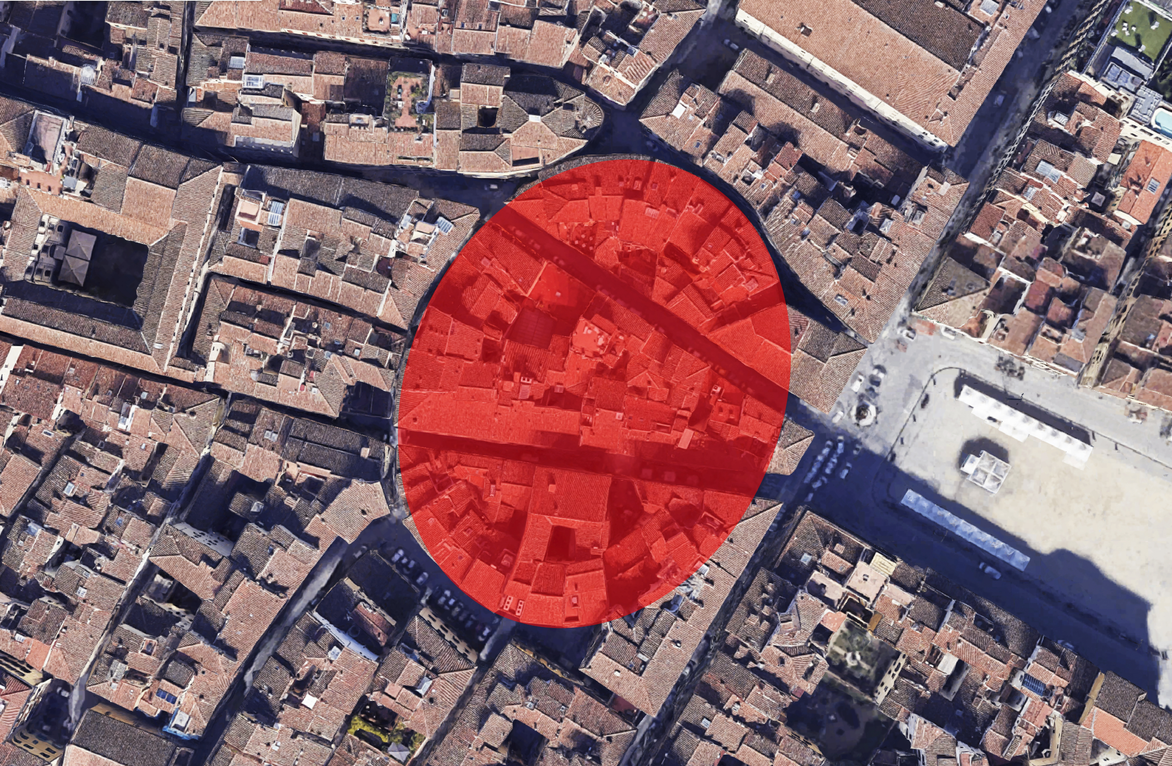
Shown below is a plan of the center of Florence as it exists today.

The portion shown in red, shown bordering the Oltrano quarter of Florence, is the only section of the historic walls left today.

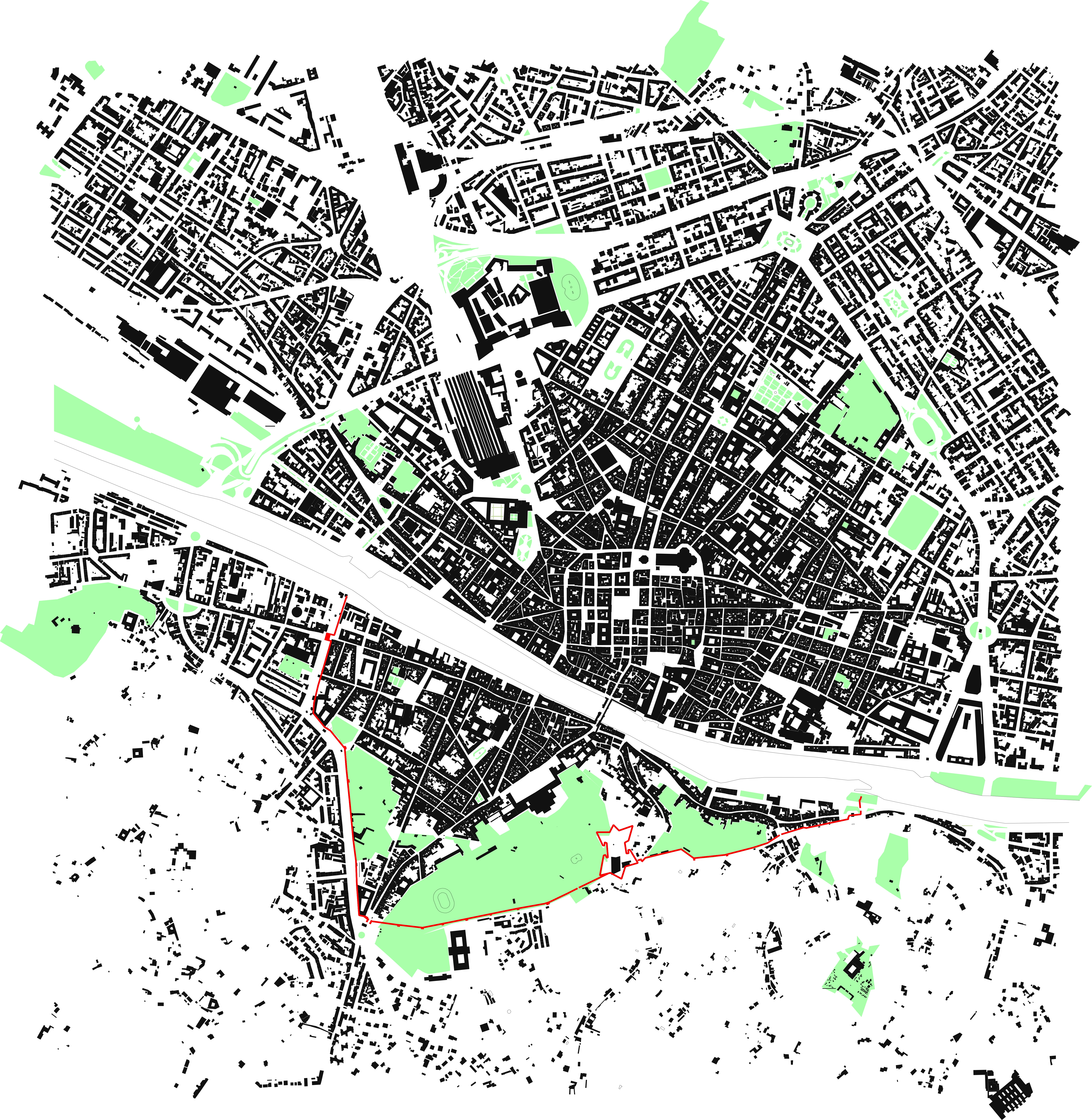
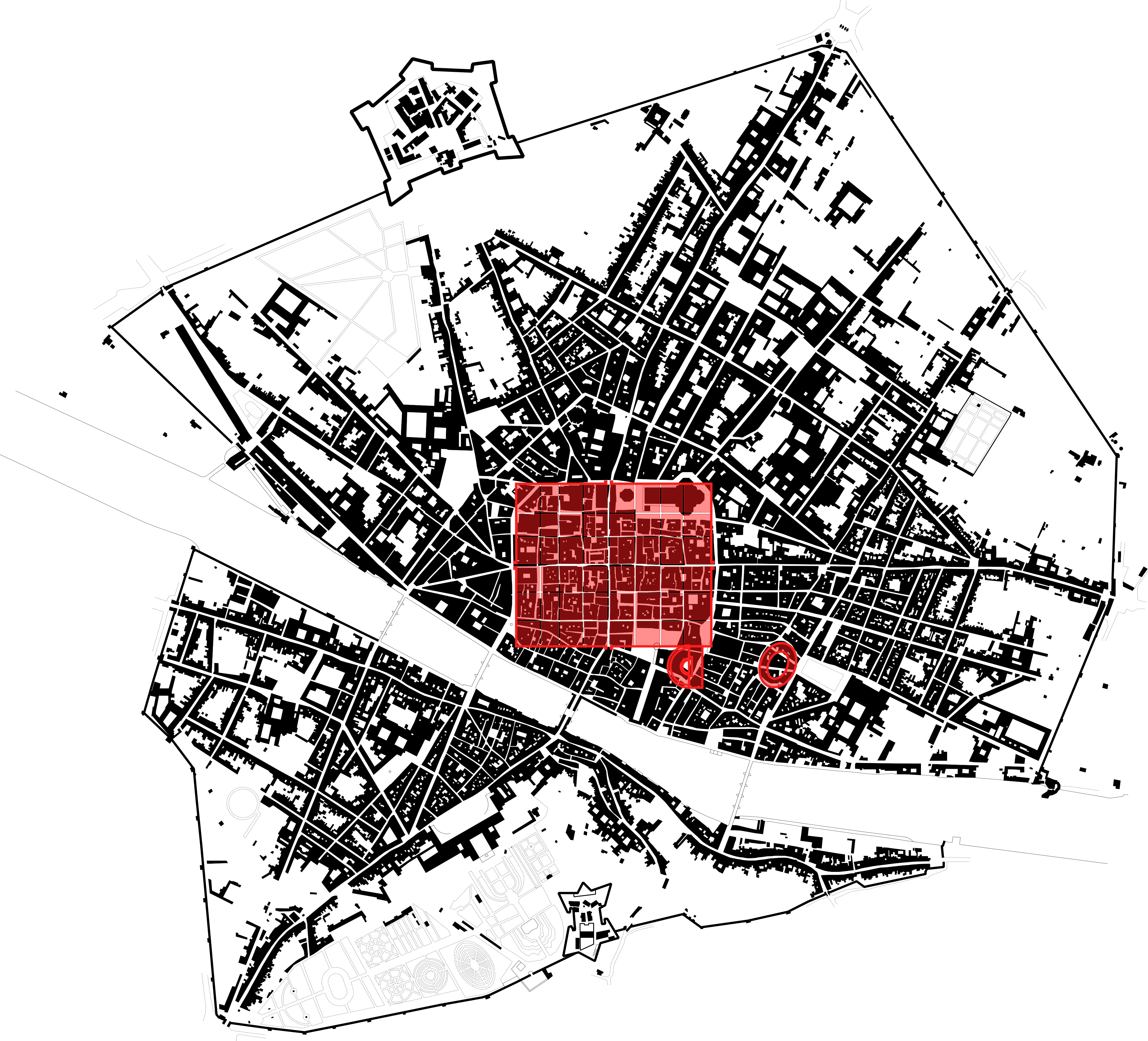
Overlaying on the same contemporary map of Florence above, the image below illustrates where the walls were constructed over time.

Present day Florence plan with the various walls shown over time.
The location of Florence’s original Roman Legion town, with the amphitheater located in the immediate lower right corner and the coliseum off to the lower right.
The outline of the coliseum in Florence can still be seen in the present day fabric. To the right is the Piazza di Santa Croce.

The information I used to illustrate Florence’s city walls shown over time can be found in the book titled, Firenze by Giovanni Fanelli, Editori Laterza; 4th edition (January 1, 1988).

Leave a Reply

Fill in your details below or click an icon to log in:

WordPress.com Logo

You are commenting using your WordPress.com account. Log Out /  Change )

Twitter picture

You are commenting using your Twitter account. Log Out /  Change )

Facebook photo

You are commenting using your Facebook account. Log Out /  Change )

Connecting to %s